Earthquake in Indonesia
Indonesien · Østnusa Tenggara · Flores
- dead
- 135since 15 August 2026
- displaced
- 60,572displaced stock as of 9 September 2026
Last reviewed · Last changed
Researched and written with AI · Method

A magnitude 7.7 earthquake struck off the coast of Nagekeo on Flores in East Nusa Tenggara at 4:58 Western Indonesia Time on 15 August 2026. The national disaster authority, BNPB, recorded 135 deaths and 60,572 people displaced as of 9 September.
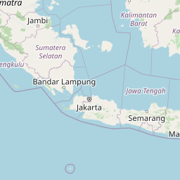
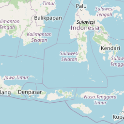
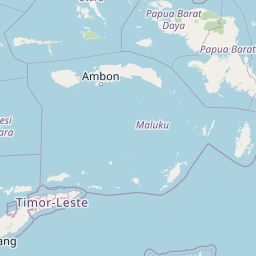

© OpenStreetMap contributors (ODbL)

What happened
The earthquake was about 15 kilometres deep, some 38 kilometres north-east of Mbay. A tsunami warning for several stretches of coast was lifted by the meteorology agency BMKG the same morning. Shaking and later landslides hit Manggarai, East Manggarai and Sikka especially hard, bringing down houses and public buildings and cutting roads, so that help and the counting of casualties were delayed for several days. A joint needs assessment in 35 sub-districts found that most survivors are camping in tents close to their own homes rather than in large camps, and that the lack of private space and basic facilities in temporary shelter is now as pressing as the roof itself.
Who is affected
BNPB's provisional figures as of 9 September were 135 deaths, of which 48 were a direct result of the earthquake and 87 indirect, and 1,764 injured. 60,572 people were displaced — about as many as live in Svendborg Municipality (60,075 on 1 July 2026). 98,986 houses were damaged, including 26,089 severely. Damage was also recorded at 2,147 schools and 157 health facilities. Earlier in the response more people were in evacuation sites; the number has fallen as people have returned to the plots beside their homes. Markets function unevenly, medicines and building materials are harder to obtain in remote areas, and household purchasing power is under strain.
The response
The response is nationally led. The government extended the emergency period, and BNPB, the military, the police and local authorities have been responsible for rescue, shelter and early recovery. The Indonesian Red Cross (PMI) has a DREF operation, and the Indonesian Humanitarian Coordination Platform (IHCP) brings civilian organisations together. As of 9 September, PMI, Humanitarian Forum Indonesia and the IHCP network had delivered services reaching a cumulative 522,182 people; the figure may include overlap between types of assistance and organisations and is not a unique headcount. Priorities in the joint assessment are shelter close to home, food and nutrition, water, protection in displacement sites, and the reopening of schools.
What to watch
The move from tents beside the house to repairs and a safe return is the next step, especially for the 26,089 severely damaged houses. The coming rainy season could again hit tents and cut-off roads. The rebuilding of schools and clinics will decide how quickly learning and treatment resume. A newer consolidated BNPB tally after 9 September has not yet been issued in a situation report at the same level.
The figures
| What | Figure | Period | As of | Source | Confidence |
|---|---|---|---|---|---|
| DeadBNPB's preliminary figures as of 9 September at 9:00 Western Indonesia Time, relayed in IHCP situation report No. 9. Of these, 48 were direct and 87 indirect deaths. | 135 | since 15 August 2026 | BNPB | Verified | |
| DisplacedBNPB's count of displaced people in the affected regencies. The figure has fallen from earlier counts as people have returned close to their homes. | 60,572 | displaced stock as of 9 September 2026 | BNPB | Verified | |
| GDACS alertThe UN and EU's disaster alert system (GDACS) issued its highest warning level for the earthquake. The event is dated 14 August 2026 in UTC and 15 August in Indonesian time. | Red | highest alert during the event from the UN and EU disaster alert system | GDACS | Verified |
All figures are minimums, not totals: documented cases are fewest exactly where access is worst. Grey rows are background and do not affect the placement.
Sources
Changelog
- Maps that show figures now link to the report the figures come from. A location and coordinates have been added so the site can show a small locator map.
- GDACS red alert explained as the UN and EU disaster alert system's highest warning level in the reader-facing text.
- First draft, based on BNPB figures in IHCP situation report No. 9 and GDACS.